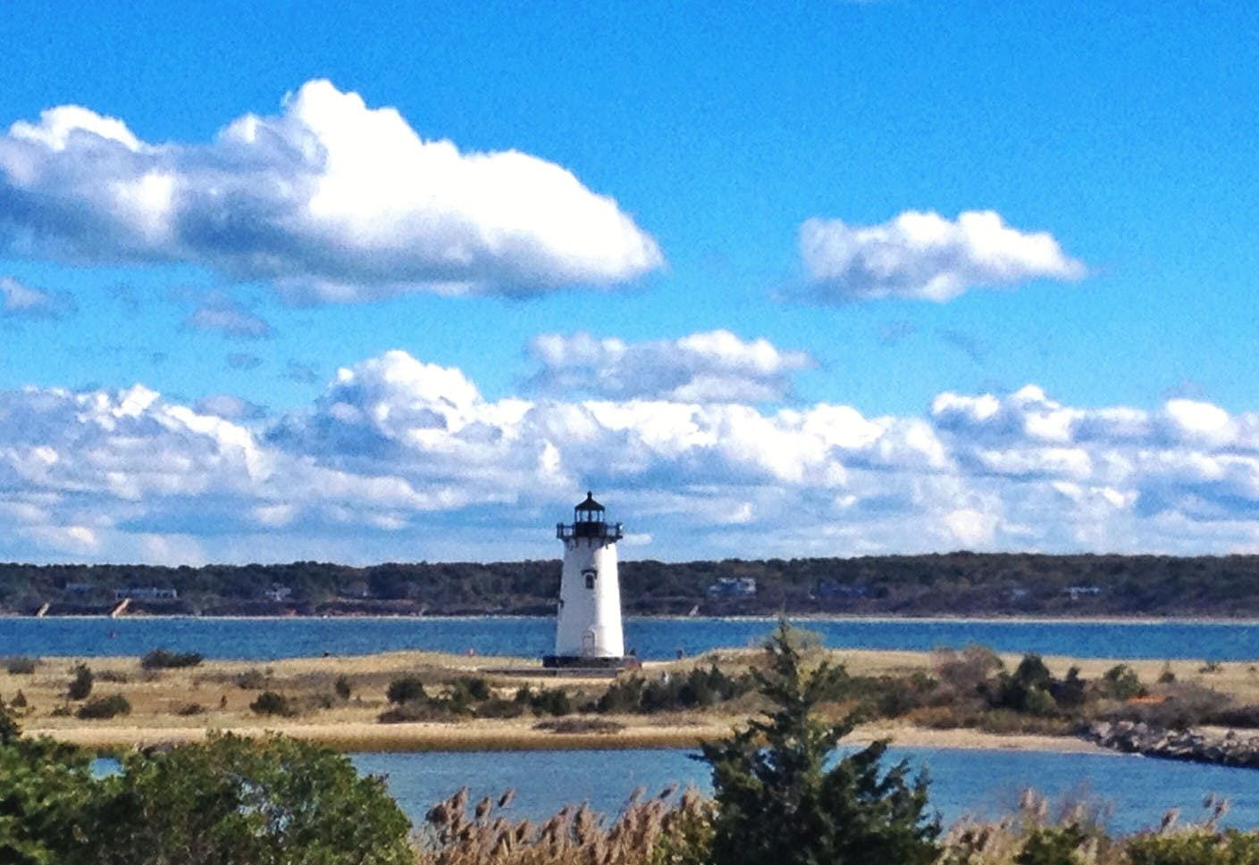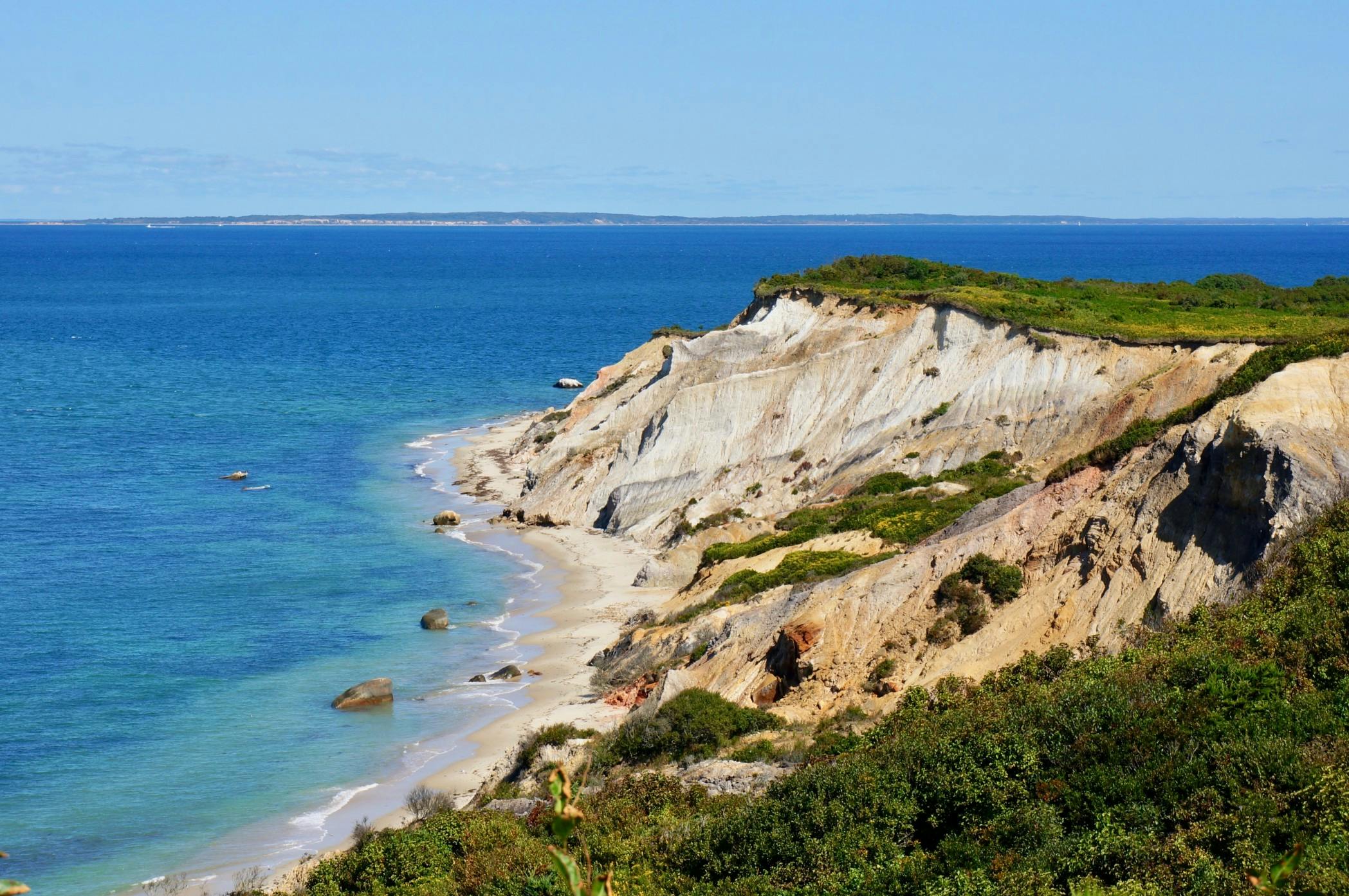
Martha's Vineyard is a roughly 120 square mile island off the coast of Cape Cod. The island is accessible by boat or aircraft, no bridges or tunnels connect it to the mainland. Many people arrive on Martha's Vineyard with the idea that the island is much smaller than it actually is.
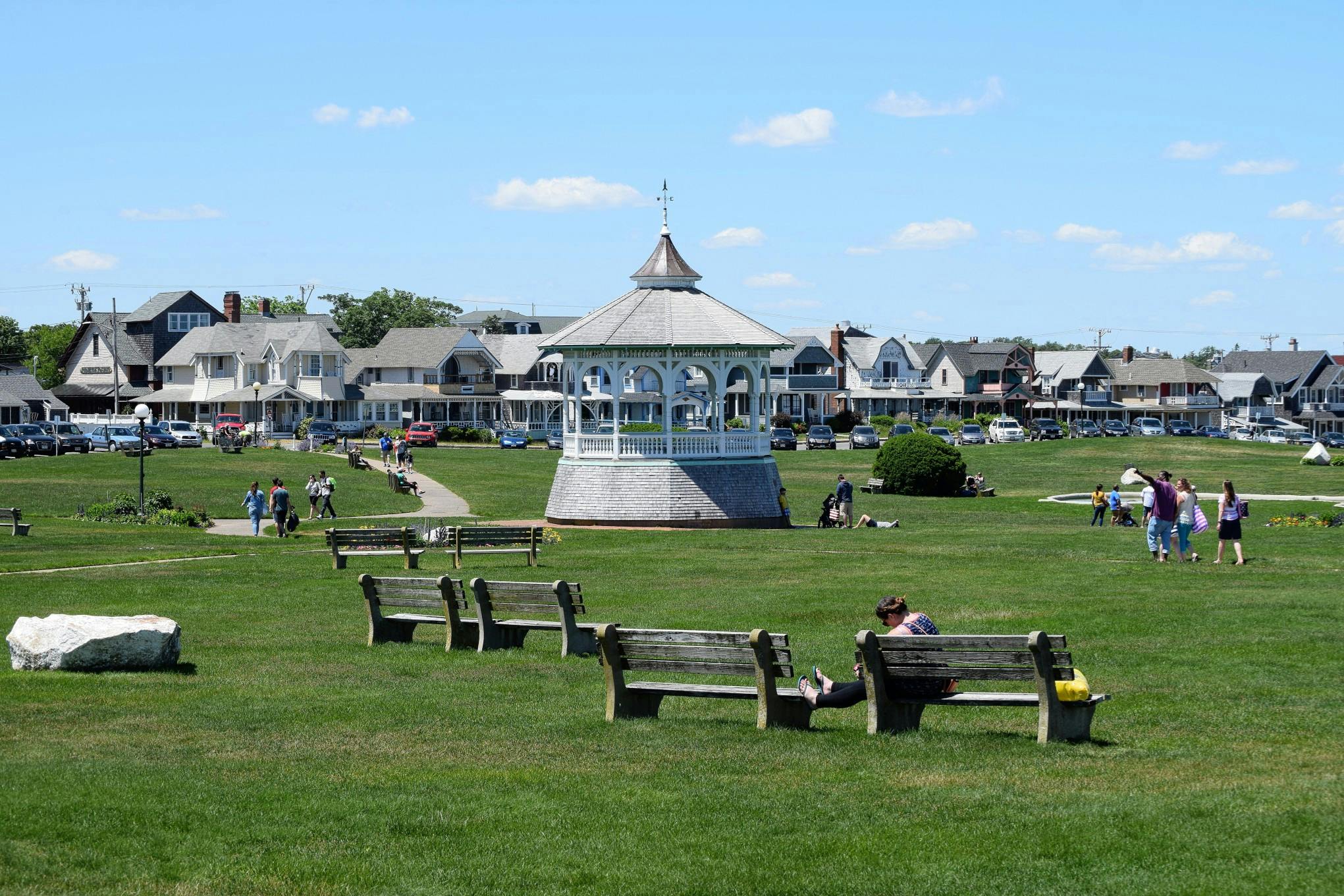
While many things around our local harbors and downtowns are walkable, there is still a lot of Martha's Vineyard that is best explored in a vehicle. For reference it's about a forty five minute drive from one end of Martha's Vineyard to the other. There are six distinct towns on the island and each of them is worth visiting. Getting around Martha's Vineyard is quite easy but requires a little planning.
Good to Know
By far, the best way to get around on Martha's Vineyard is by car.
Getting Around Martha's Vineyard By Car
Driving the island in your personal vehicle is a great way to really explore Martha's Vineyard. If you plan on bringing your vehicle, an advance reservation is required with the Steamship Authority. Reservations for summer dates book months in advance, so it is a good idea to make your reservation as far ahead as possible. Rental cars are available, but are also quite desirable, and relatively expensive so plan ahead.
There are only a handful of main roads that connect each town, each of which are clearly marked and signs indicate which town you are headed to. There is essentially a large loop around the island with two roads that cross the island, one that runs North-South and one that runs East-West. Navigational tools and GPS can occasionally lead you astray, though it is generally reliable when you have cell service. There are places on the island where cell service can be spotty, so it's a good idea to download, or carry a map if you are not familiar with the island, especially if you plan on hiking.
Obeying the Rules of the Road on Martha's Vineyard
There are no traffic lights on Martha's Vineyard, and many residential and rural roads are unpaved. There are also many private roads, these roads are not intended for through traffic and are marked, so keep an eye out for “private road” signs. The island is very relaxed and driving is generally slow and courteous. The fastest speed limit on the island is just 45, though much of it is slower so remember to be cautious and drive on “island time.”
There are a couple intersections in Vineyard Haven that offer particular challenges. “Five Corners,” in Vineyard Haven is at the intersection of Beach Road, Lagoon Pond Road and Water Street. This is the very first intersection many encounter when they get off of the ferry in Vineyard Haven. Beach Road does not have a stop sign, while there are three other streets entering the intersection that do have stop signs.
Be Aware!
Even though you may be excited to explore, Five Corners is an important intersection to pay careful attention with traffic entering from all directions.
If you head up State Road from the Five Corners toward West Tisbury, the intersection of State Road and Edgartown/Vineyard Haven Road has just one stop sign on Edgartown/Vineyard Haven Road. It is customary to slow down and let cars enter or exit the roadway at this intersection.
Driving on most of the island can be a dream, with views of the ocean, scenic farms outlined by hundred-plus year old stone fences, and much more. Watch out for moped and bicycle traffic, as there are several accidents a year involving passenger vehicles.
Driving On The Beach
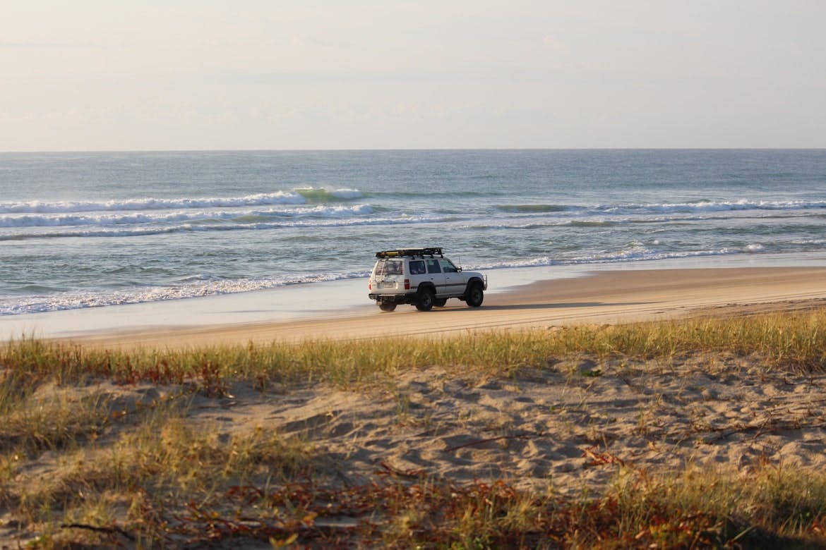
Over Sand Vehicle Permits are available, for privately owned four wheel drive vehicles, for purchase through the Trustees of Reservations of Martha's Vineyard at thetrustees.org. Norton Point Beach in Katama, Edgartown and Cape Poge Wildlife Refuge both offer the opportunity to take your 4x4 out on the beach and set up camp right from your vehicle. These passes are not issued to rental cars, and cars without four wheel drive and high clearance will almost undoubtedly get stuck on the soft sand. Access to these beaches is often subject to closure due to migratory bird nesting and other ecological protective measures.
Check out our Martha's Vineyard Beach Guide for more information about vehicle access and beach permits.
Getting Around By Bus
Martha's Vineyard has an extensive bus system operated by the Vineyard Transit Authority (VTA). The bus system covers the entire island, and offers handicap accessibility and limited bike racks. The buses are a great way to get nearly anywhere on Martha's Vineyard at an affordable price. Bus schedules are available at vineyardtransit.com, physical copies are also available at the ferry terminals, visitor information kiosks, hotels, and so on. Buses run frequently between the down-island towns, and a little less frequently through the more rural parts of the island, but will get you around reliably.
Keep in mind, if you intend to walk onto one of the ferries, you may have to park elsewhere and take a bus to the ferry. Refer to the ferry services websites for parking information before you travel.
Consider An Ecofriendly Bicycle

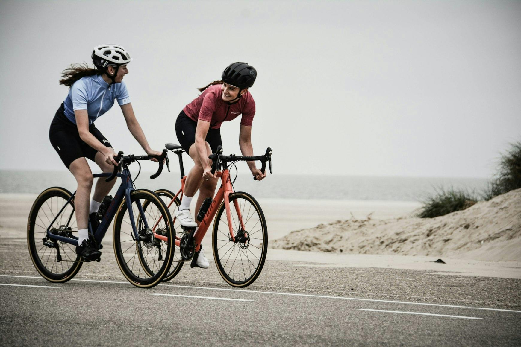
The island becomes a whole lot bigger if a bicycle is your only means of transportation, but the bus systems do offer convenient bike racks on many of their buses, and cycling can be a fantastic way to soak in the scenic beauty of the island. Miles of dedicated bike and walking paths snake down beach road from Vineyard Haven to Oak bluffs. From Oak Bluffs you can ride down Joseph Sylvia State Beach and Bend In The Road Beach to Edgartown. The trails continue to the plains of Katama from downtown Edgartown and even travel back up to the Manuel F. Correllus State Forest via Edgartown/West Tisbury Road. Inside the State Forest are over ten miles of trail alone. These bike paths offer the safest way to travel by bicycle, however there are certain places that are not accessible by dedicated bike lanes or paths.
Be aware, and remember that bicyclists must follow all the rules a car must follow. Hand signals, and stopping at stop signs will go a long way towards keeping you and your fellow riders safe when you venture away from the bike trails.
Finding the Perfect Rental on Martha's Vineyard
Rest assured, you can rent all sorts of modes of transportation on the island. If you are staying for the afternoon, or for a month, there is something for you. Cars, bicycles, kayaks, stand up paddle boards (SUP), mopeds and more are all available. Consider renting a kayak or SUP to explore one of the many beautiful ponds, or back bays of the island. It can offer a completely different look at the island and its fascinating and breathtaking ecology.
Using Taxis and Rideshare Apps on Martha's Vineyard
There are several local taxi services available on-island, and many wait in downtown areas, ferry terminals and the airport between rides. You can also call these companies and schedule a ride at your convenience.
Rideshare services, including Uber and Lyft are generally available on the island, but the number of drivers can be very limited, making for long wait times and expensive rides, especially in the summer months. As demand and operating cost dictate pricing, these services can all be on the pricier side, even the ride share prices can make you raise an eyebrow at times. Be prepared to wait a bit and try to plan ahead if you can.